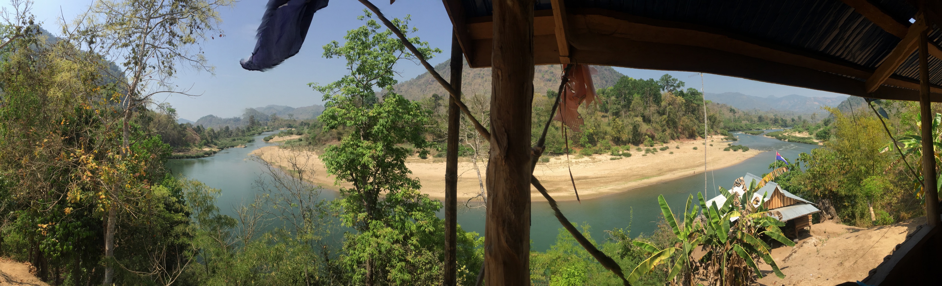
The river is the road. Long-tail boats work the current. A sandbar holds the landing: drums, a bamboo fence, the shallows where people stand to meet a boat. Forest and small fields share the bank. The Dawna foothills rise immediately behind the roofs.
Published accounts place the village in KNU-administered country on this river, Thailand on the opposite bank. That is enough geography here. Coordinates and patrol routes are not published.
Kawthoolei
The village stands in the land the Karen call Kawthoolei, often rendered Kaw Thoo Lei, “land of the Karen.” On Burmese administrative maps this is Kayin (Karen) State, on the Thai border. On the ground it is a riverine village in hills that have been Karen country for as long as anyone here can remember.
Kayin State’s published figure of about 1.57 million people is for the whole state, not a village count. The tract name in S’gaw or Pwo, and whether this settlement is organised as a kaw, are questions for the people who live here.

What you see from the water
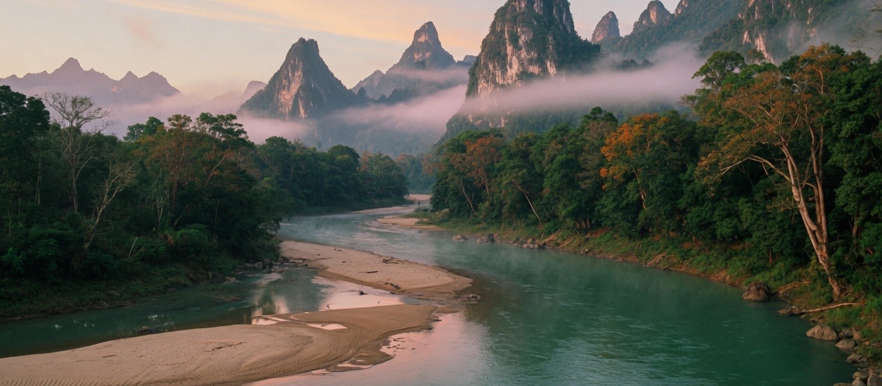
Raised houses of timber and bamboo. Banana and bamboo at the edge of the clearing. Karst peaks in mist. Thailand as a far bank, not a foreign abstraction. The photograph at the top of this page is this village looking down the river from a verandah. The hillside photograph on the home page is the same bank. For rock, forest, wildlife, and the long war that shaped what science does not yet know, see landscape ecology.