Skip to content
Mu Aye Pu
Computer visualisation of a riverside township under two peaks.

History

Free city drawings

Visualisations produced for Mu Aye Pu Development Corporation in the ceasefire years. They remained paper.

A rendering, not the village. This site is not an investment offer.

These stills come from a Mu Aye Pu City image series of 2017 and 2018. The same papers named Tay Kheng Soon as masterplanner and hitched his word Rubanisation to a “Free Enterprise Community.” Tay has not, in public, confirmed that every frame is his hand. A modest guesthouse sketch from those years credits a Mae Sot studio, not Tay. Two ideas sat beside each other.

The figures in those papers did not agree: a few acres in one version, thousands of hectares in another. The drawings never became land, or a city. Work of that kind was described as on hiatus in 2020. The landing is still a landing.
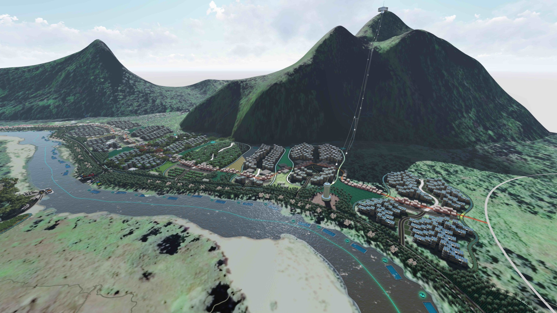
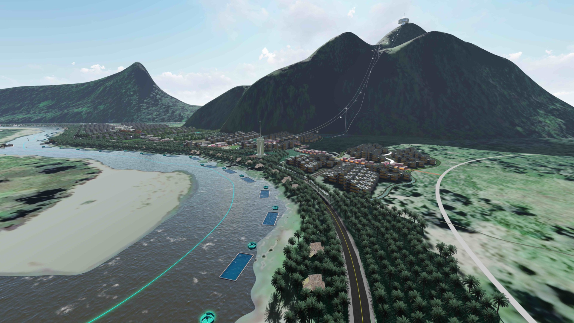
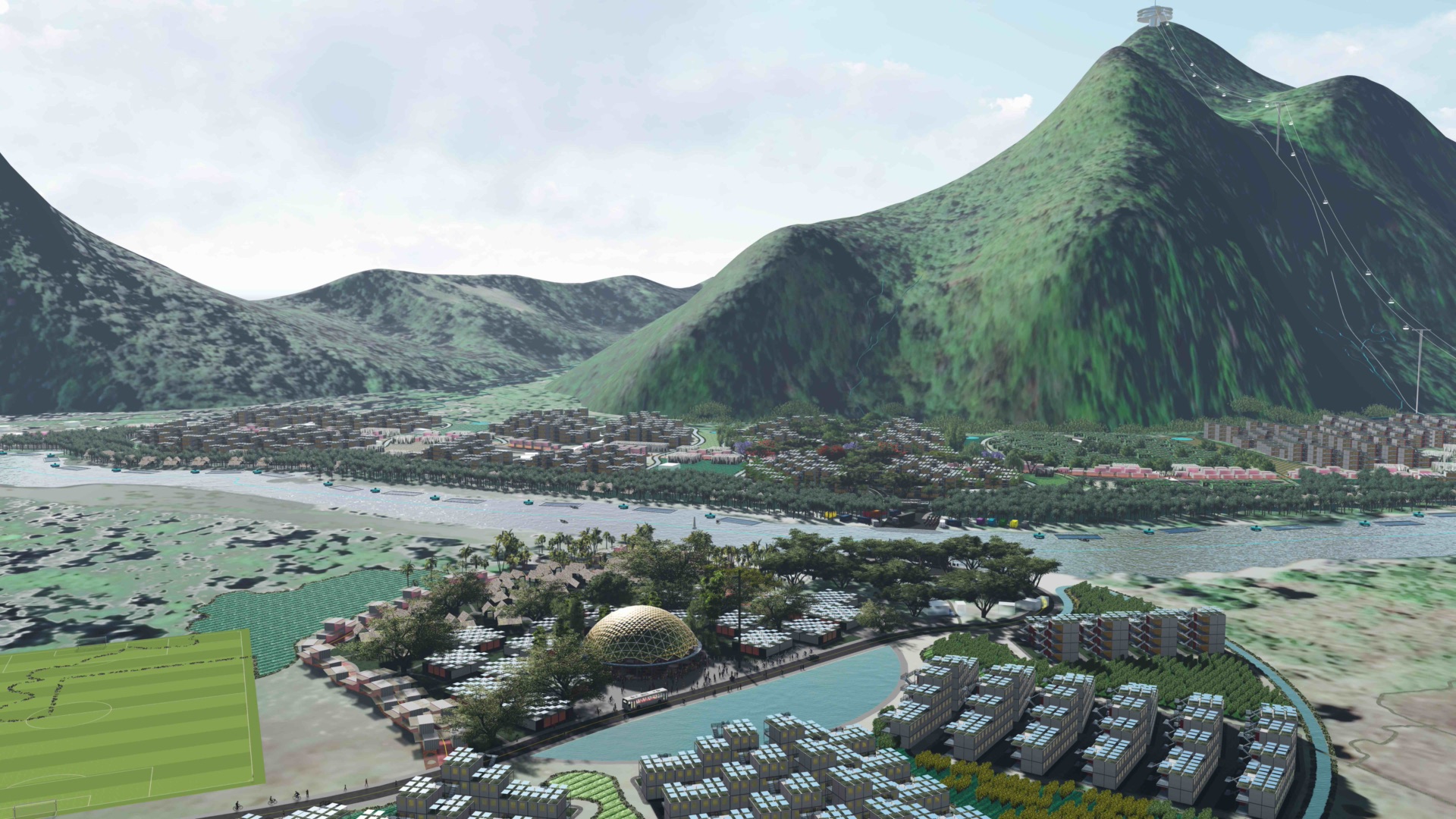
Computer visualisation of a riverside township under two peaks, with a cable to a summit platform.
Overview. A township drawn against two peaks. Visualisation, not a photograph of the village.
Visualisation of the river with fish pens, a road, and housing under the hills.
River and fish pens. Paper water, not the Moei as it is.
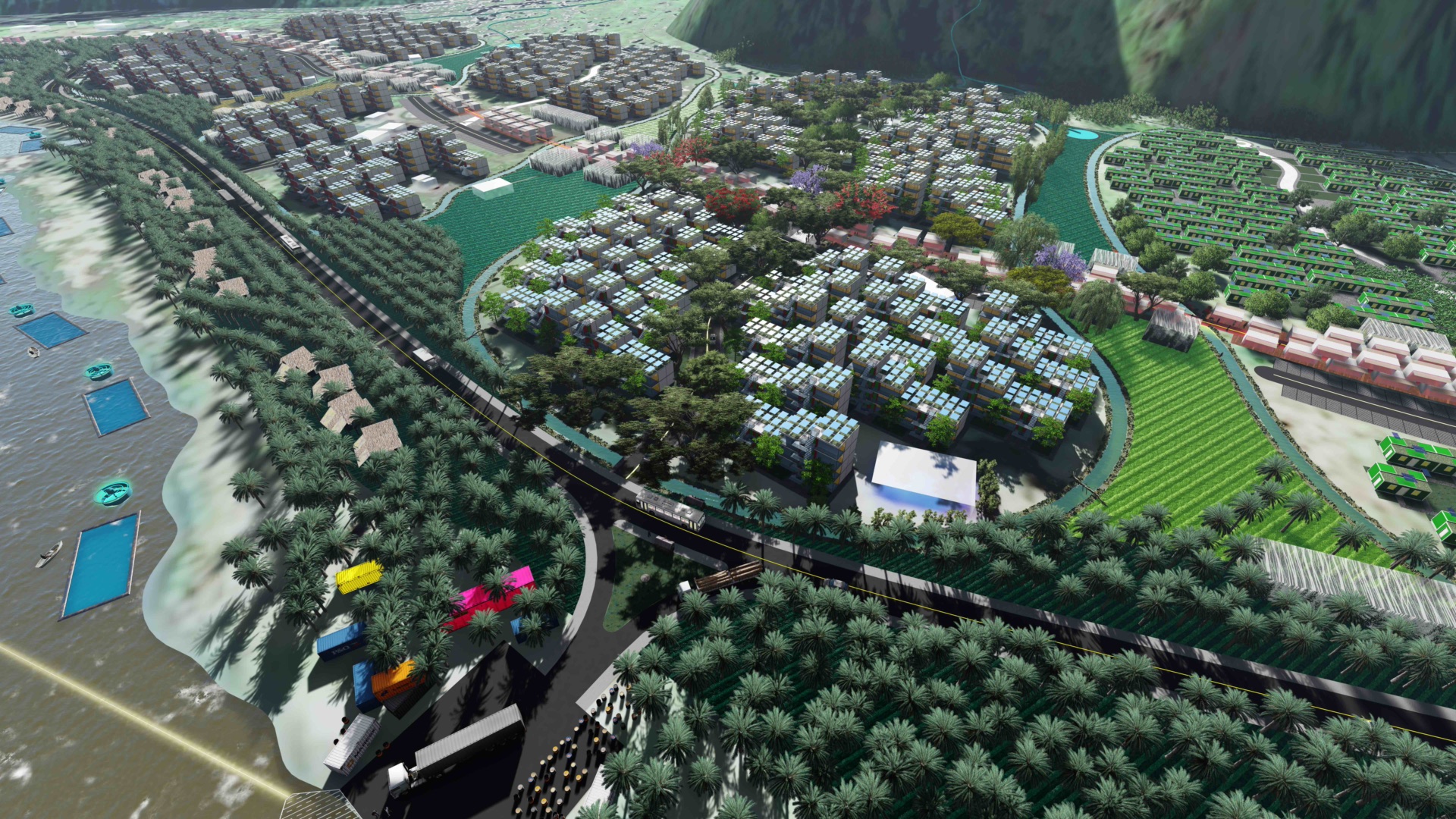
Aerial visualisation of housing clusters, fields and a road along the river.
Neighbourhoods from above. The numbers in the same files did not agree.
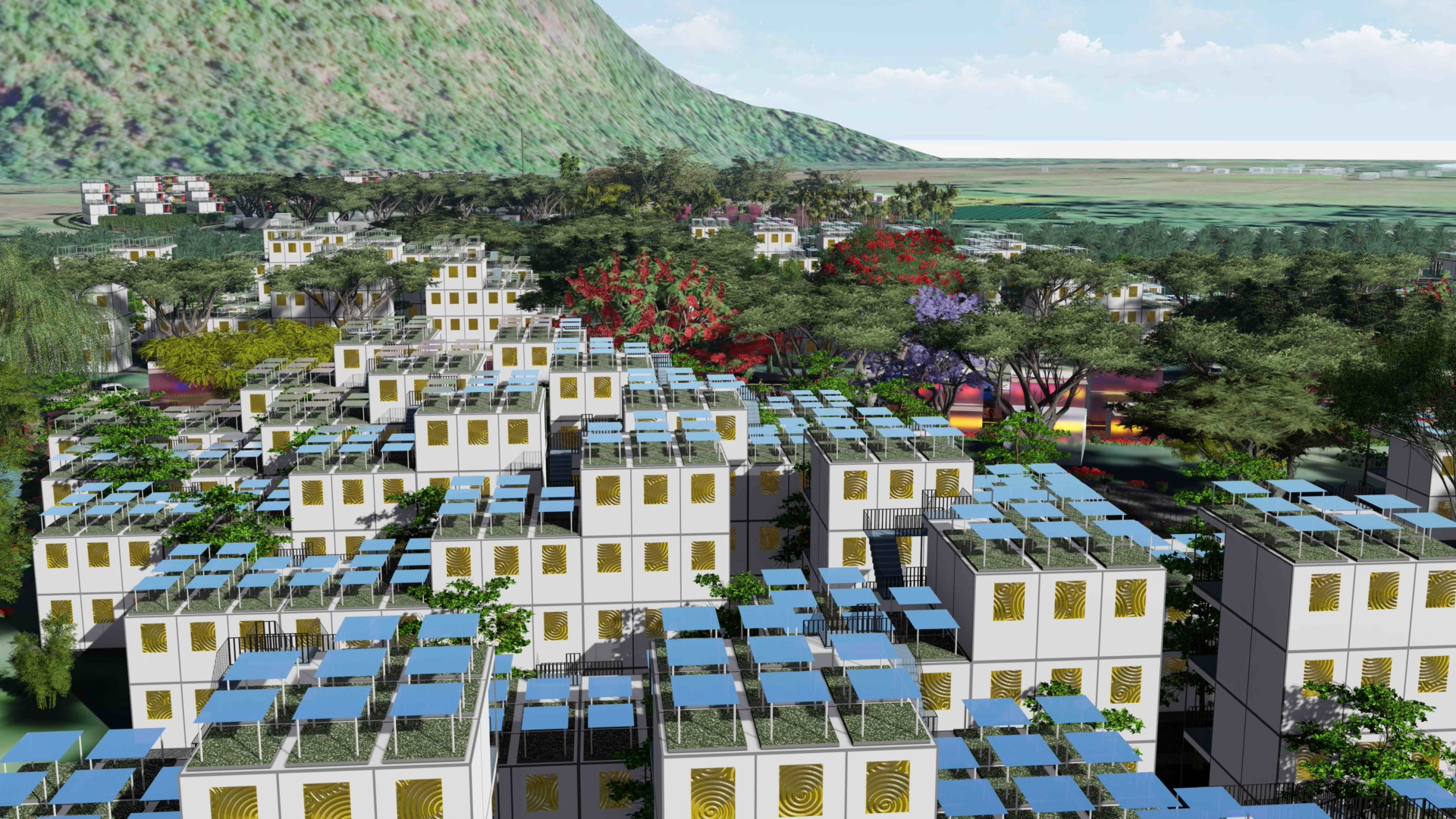
Close visualisation of stacked white housing blocks with gold screens and blue solar panels.
Housing blocks with solar roofs. A design language, not a street that was built.
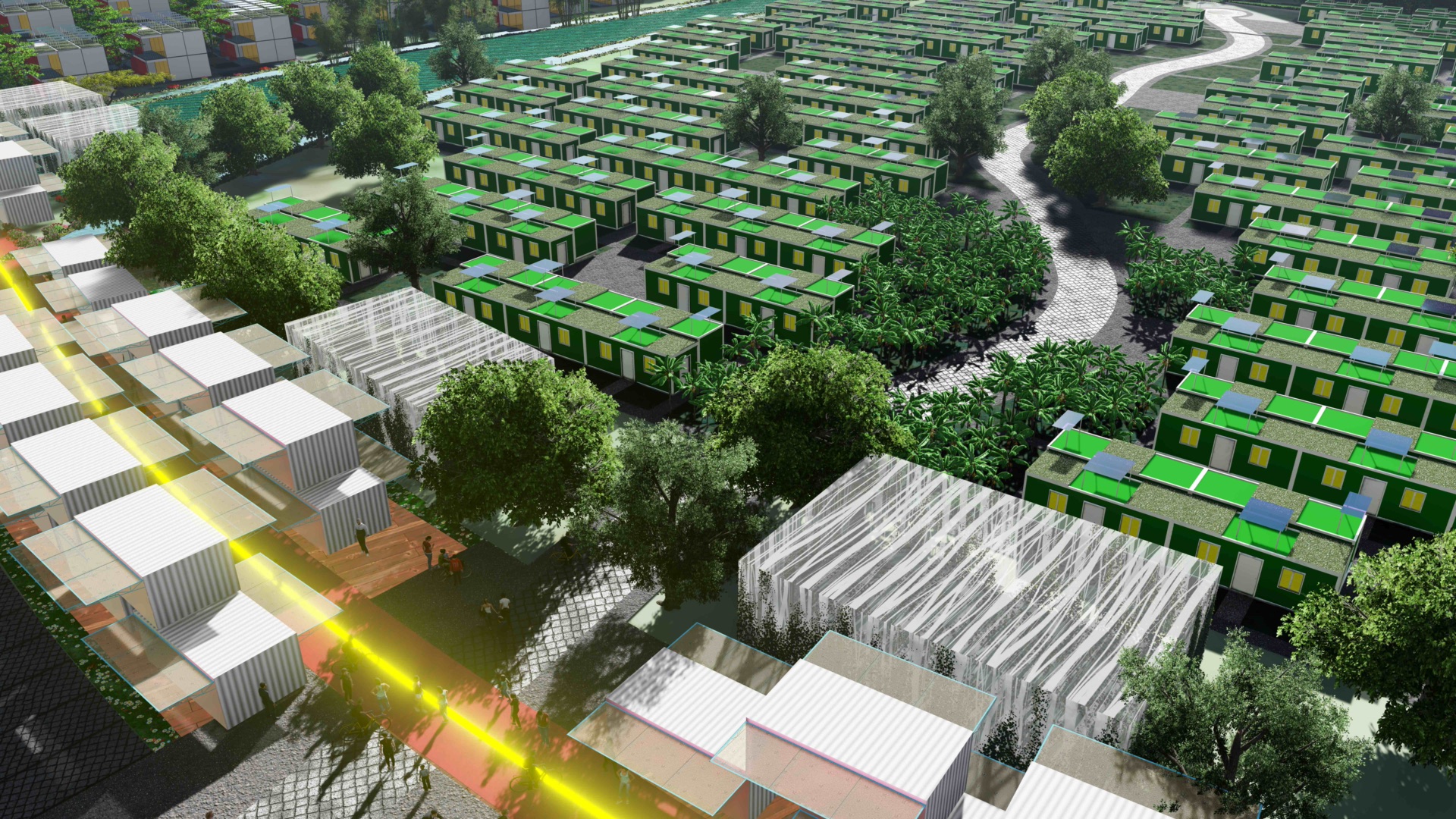
Visualisation of green-roofed terrace housing beside a lit pedestrian way.
Green roofs and a lit way. Still paper.
Visualisation looking across the river to a geodesic dome, a pitch and more housing.
The far bank in the drawing, with a dome and a pitch.
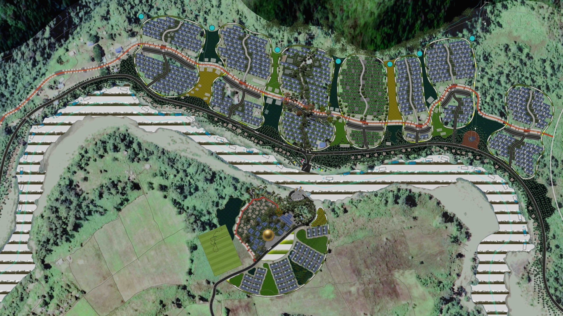
Plan visualisation of clustered housing along a river, seen from above.
Plan view. A drawing, not a map of the village as it is.
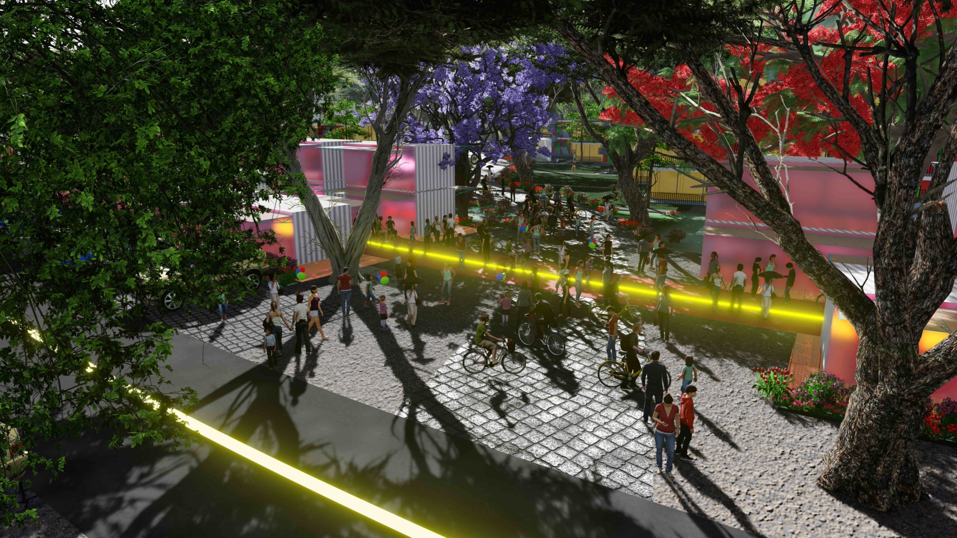
Street-level visualisation of a shaded walk with trees in flower and figures on bicycles.
A street that exists only in the model.
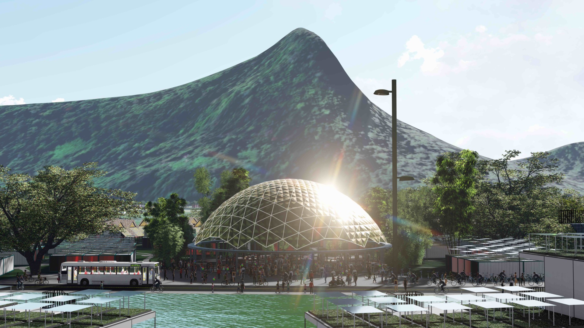
Visualisation of a geodesic dome plaza with a bus, bicycles and a peak behind.
Dome and plaza. The peak is drawn. The village on the bank is still timber and bamboo.

Nine frames from a longer series. They are shown as drawings. Read the history of Kawthoolei, and the place itself.